
Canal/Fry’s
Historical Period: Residential Arizona, 1950s-Present
Overview
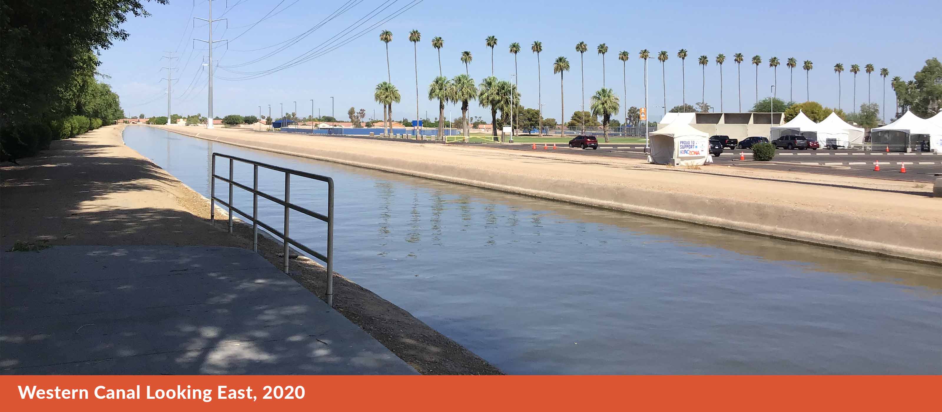
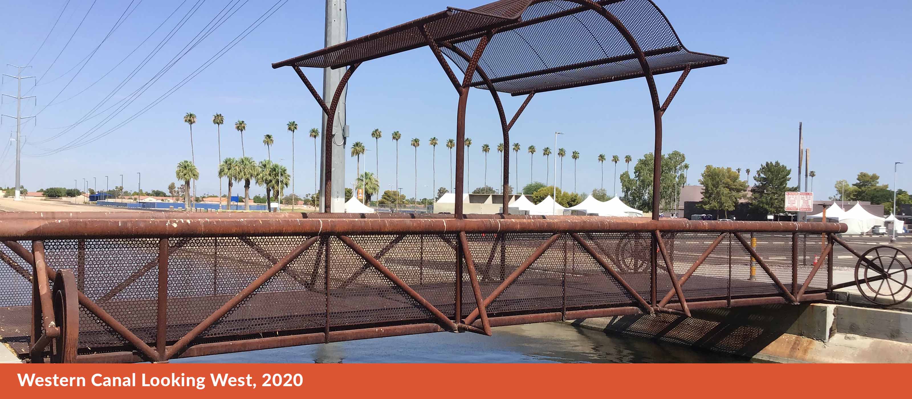
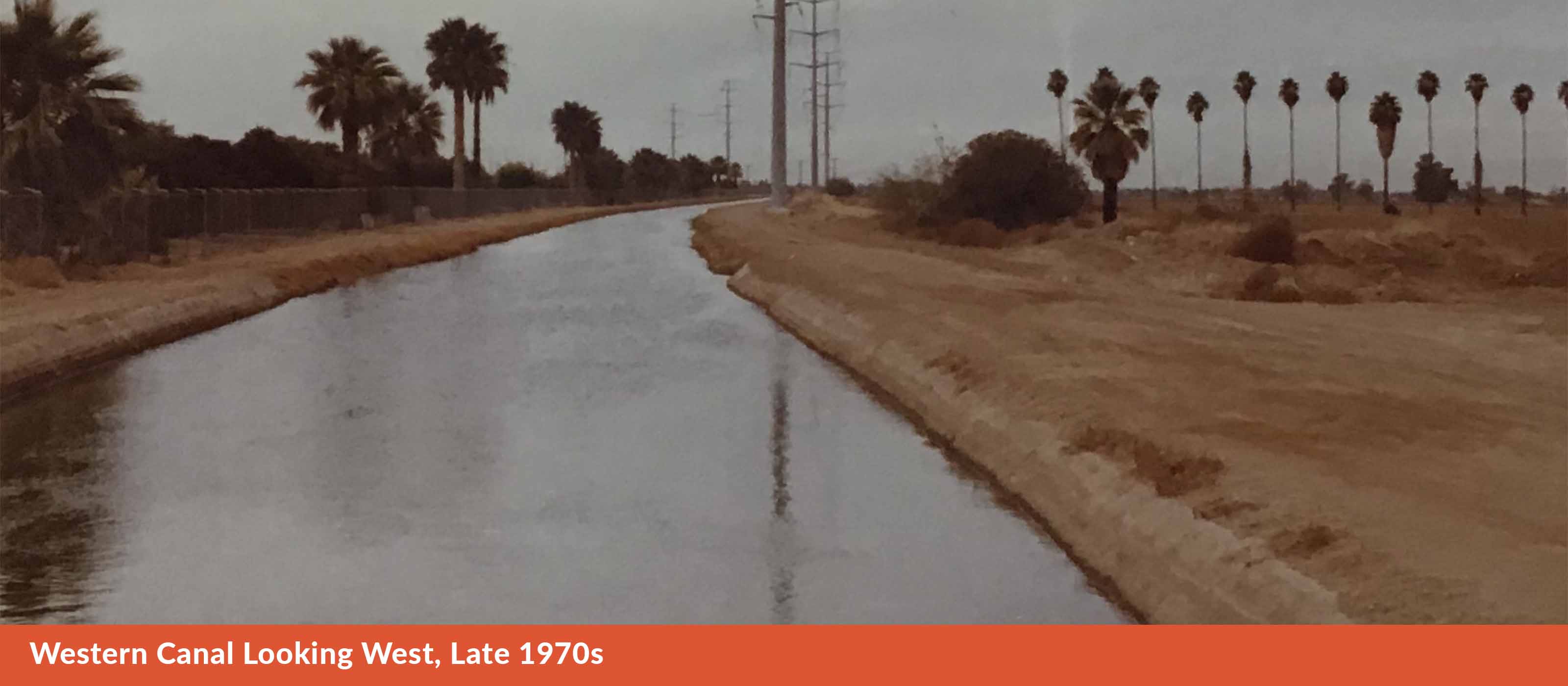
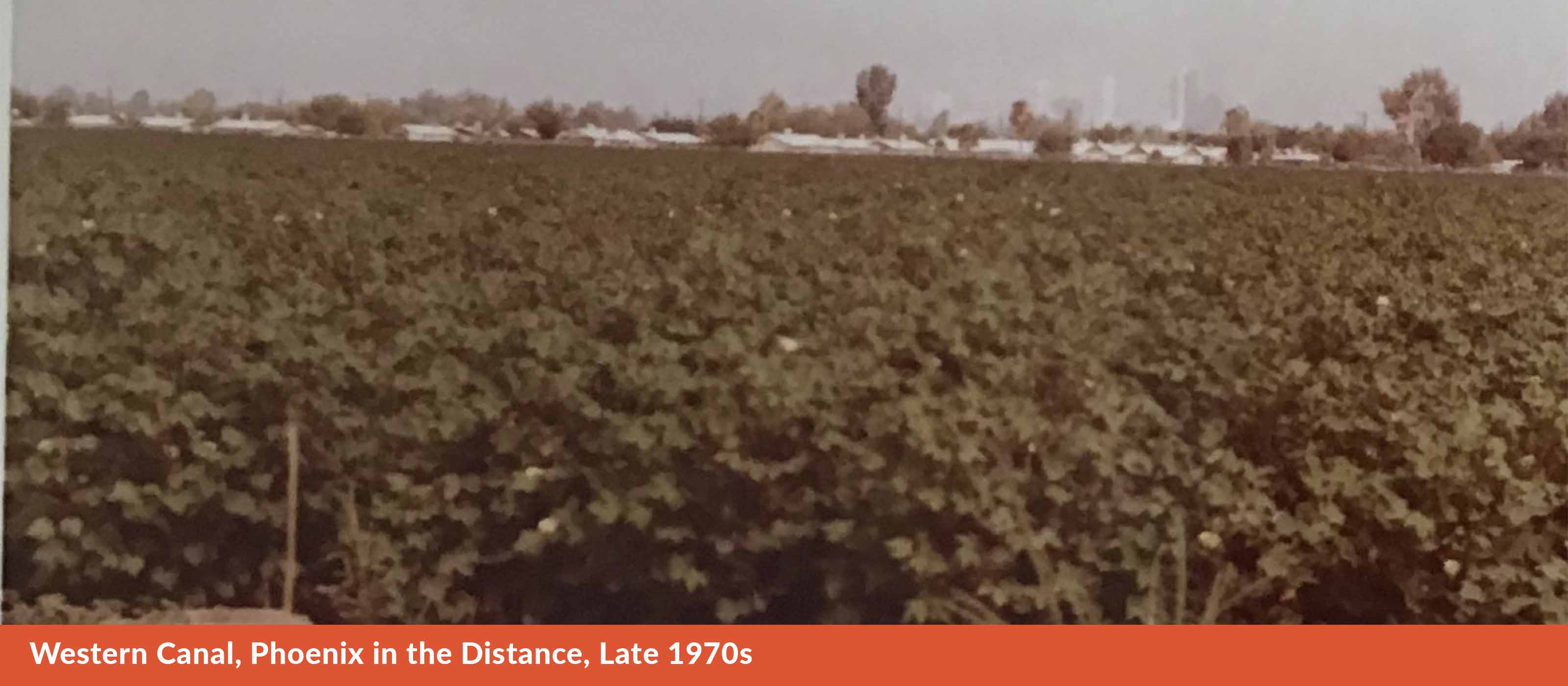
Our tour ends here, on the “Immovable Bridge,” which was constructed in 2011 as part of the Fry’s Marketplace development. We end here because it is the best physical example of history – and ancient meeting the present – right here on the edge of our campus. Here, in the shadow of Muhadag Du’ag, look down. The canal is as ubiquitous in Arizona. All of us have interacted with it in one way or another. We’ve driven over it, biked next to it, fished in it, or taken a swim in it.
Conversation
What do you think of the area around you? How many changes do you think it underwent?
Here, in the shadow of Greasy Mountain, look around. Everywhere are signs of modern development in the area. But we can also see evidence of living history. That Fry’s Marketplace? It’s sitting in the middle of what was once one of the largest rose gardens in the country – grown by a Japanese-American who was interned at a camp during World War II. Those palm trees? They’ve been here since Dwight Heard was leasing the land to Mexican-American farmers. The copper on the walls of the library and the PAC? Arizona-mined.
Question: How significant has the canal been to the area?
Remember how I told you the Hohokam left behind two lasting legacies, one being the Petroglyphs on the mountain? The second was ancient canals, dug over 2000 years ago, irrigating the Salt and Gila rivers so they could grow crops. The canals that are so prevalent in Phoenix – The Salt River Project, the Central Arizona Project, they are built on top of the ditches once used by a people whose name has been translated to mean “vanished.”

Tour Map
Click the image to see the tour map.

